Drone Topographical Services
Topographic Survey by Drone
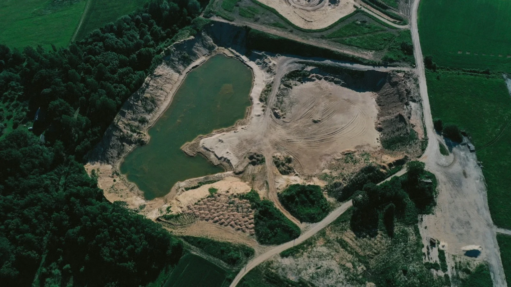
The FSS3 Flying Sensor inspection drone also proves useful in soil mapping and quarry/mine exploration, simplifying the visualization of terrain evolution and enhancing management by, for example, calculating volumes before and after excavation.
In essence, it requires a payload with a suitably high-quality camera, an RTK module for centimeter-level triangulation accuracy, and data processing software for 3D modeling.
The mechatronic design of the Flying-Sensor drone has allowed it to evolve technically since 2004. However, from its inception, the drone has guaranteed flight performance with excellent autonomy, a stealthy character (very quiet), and remarkable resilience to wind gusts up to 70 km/h and heavy rain, thanks to its single-axis counter-rotating concept with centralized weight.
Nevertheless, in the absence of wind and rain, we also have other drones equipped with cameras suitable for our Digital Terrain Models (DTM) creation needs.
Deliverables : Drone Topographical Surveys
Cominthesky has equipped its drones with high-precision hardware, including a centimeter-accurate RTK GPS and latest-generation IMU (Inertial Measurement Unit), ensuring outstanding precision in all conditions. This innovative technology makes drone-based topography significantly faster and more efficient than traditional methods.
The Digital Terrain Model (DTM) can be delivered within 2 to 3 business days after the necessary data is collected on-site. The mission itself can begin within 5 business days following the submission of proposed mission dates . These dates depend on your urgency and the upcoming weather conditions.
The cost of the drone topographical survey service depends on the level of accuracy required and the size of the area to be analyzed.
References of our drone experts
![]()
![]()

![]()
![]()
![]()
![]()
![]()
![]()
![]()
![]()
![]()
![]()
![]()
![]()

![]()
![]()
![]()
![]()
![]()
![]()
![]()